To the Board of Trustees of the St. Louis County Library:
At this moment, the Board of Trustees holds in its hand a rare and remarkable opportunity. With one simple decision, the Board has the chance to:
- Serve its patrons above and beyond their expectations
- Make wise and efficient use of taxpayer dollars
- Celebrate the history of St. Louis County
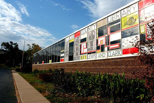
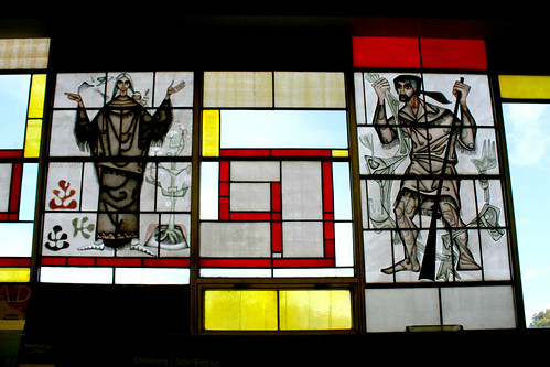
- Conserve a significant and beautiful work of art
- Practice innovative, creative governance
- Leave a lasting legacy
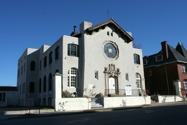
All this and more will be accomplished in a single stroke – if the Board will simply choose to let the original William and Clark library building remain standing.
Save the building, and a smaller, much less expensive addition can be added to it – saving taxpayer money, and keeping tons of material out of landfills.
Save the building, and future County residents will have a direct link to the past, through a building that their parents and grandparents used when they were children.
Save the building, and its stained glass will remain in its original, intended context – and will continue to delight generations of County residents.
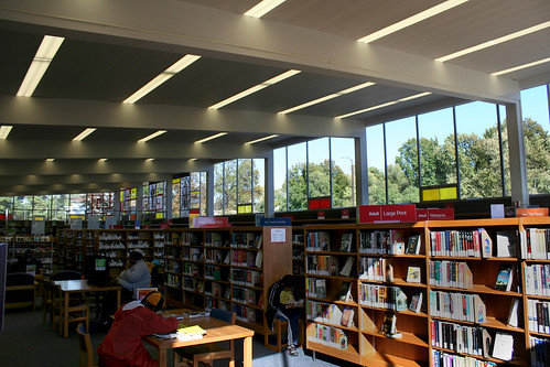
Save the building, and library patrons will continue to have access to a delightful, whimsical, unique space – and it will serve their needs better than ever.
I urge the Board not to destroy this building, but to shepherd it through its middle years, update it and make it better than ever. Do not fall victim to the notion that age alone is reason enough to demolish a building – a community cannot gain the historic legacy of a hundred year old building if everything is knocked down when it turns fifty. Renew and update Lewis and Clark, so that in another 50 years, it will still be proudly serving its patrons, a historical legacy and landmark for the County.